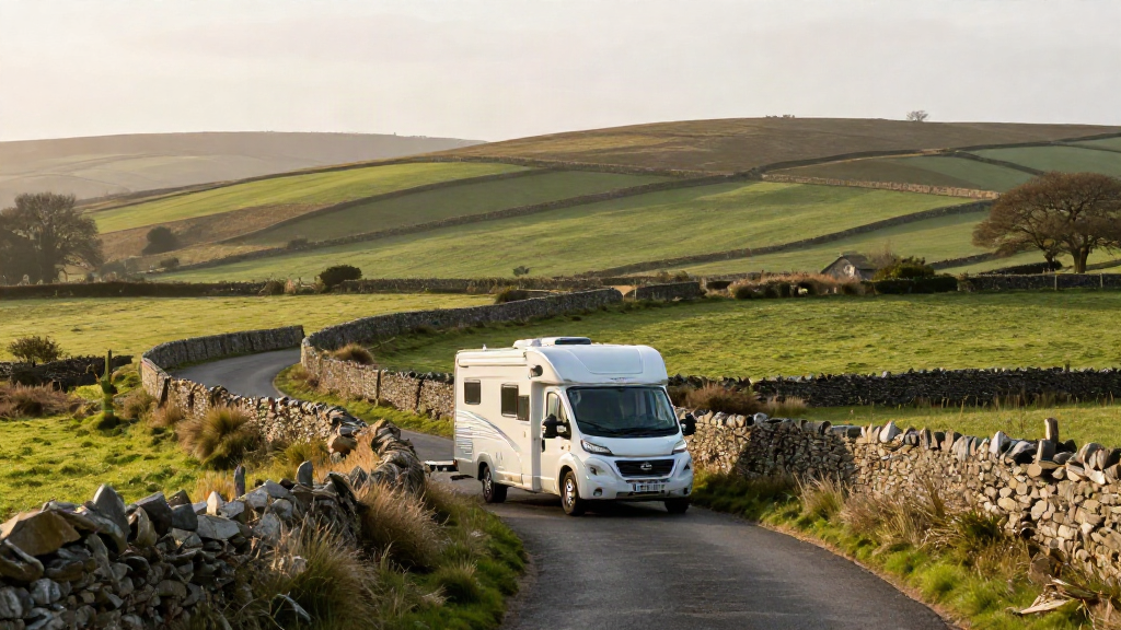
Planning a UK route in a motorhome or caravan is a different job from planning one in a car. A road that looks perfectly ordinary on a standard map can hide a 2.9-metre height barrier, a seven-foot width restriction or a weak bridge your outfit should not cross. Get the route right and touring feels like freedom. Get it wrong and you are reversing a four-tonne outfit down a single-track lane with a queue of traffic behind you.
The single biggest reason owners end up in those situations is that their navigation app does not know how big the vehicle is. This guide shows you how to take control of that - by knowing your dimensions, understanding how restriction data works, and planning a UK route that fits your outfit from the start.
Why standard sat nav apps send motorhomes the wrong way
Most mainstream sat nav apps are built around one assumption: the vehicle is a car. They optimise for the fastest or shortest route and give no thought to what is carrying you down the road. That is why owners searching for a campervan sat nav with height restrictions keep running into the same problems:
- Low bridges and height barriers that a car clears without a second thought.
- Weight restrictions on narrow town-centre lanes and older rural bridges.
- Width limits on historic streets and single-track roads with tight verges.
- Routes that end in a campsite entrance your outfit cannot actually get into.
None of these are driver errors. They are planning gaps. A car sat nav answers the question "what is the quickest way there?" A vehicle-aware app answers the more useful question: "what is the safest and most comfortable way there for a vehicle this size?"
Step 1: Know your vehicle's real dimensions
Before any route can be planned around your outfit, you need three numbers you can trust. Do not guess them and do not read them off a brochure without checking.
- Height - measure to the highest fixed point, including roof vents, aerials, satellite dishes and roof boxes.
- Width - measure at the widest point, including mirrors if your app accounts for them.
- Weight - use the actual laden weight of your outfit, not the unladen figure.
A motorhome that shows as 3.0 metres in the handbook can sit closer to 3.2 metres once a roof vent and solar panel are fitted. That extra 20 centimetres is the difference between clearing a bridge and stopping dead in front of it. Write the numbers down, keep them somewhere reliable, and check them whenever you add anything to the roof or rear.
Step 2: Enter your dimensions into the app
Open the Motorhome & Caravan Sat Nav app and enter your vehicle's dimensions in the profile. This is the step that changes everything, because every route the app builds from here on is measured against your outfit rather than against a generic car.
Once your height, width and weight are set, the app treats restricted roads as genuinely unavailable to you. It does not simply warn you at the last moment - it routes around the problems before you ever set off.
Step 3: Read restriction data before you trust a route
Restriction data comes in a few different forms, and it helps to know what you are looking at:
- Height restrictions apply to low bridges, tunnels and height barriers at car parks and some site entrances.
- Width restrictions matter most in historic towns, where old streets were never built for modern vehicles.
- Weight restrictions protect older bridges and quiet residential lanes, and they apply to the vehicle plus everything you are carrying.
When your profile is accurate, the app filters all of this automatically. You get a route that has already accounted for the restriction, rather than a warning you have to react to at 50 mph.
Step 4: Plan a route that suits your outfit, not just the fastest one
A route that fits your vehicle is not always the shortest one, and that is a good thing. Give yourself permission to accept a slightly longer drive in exchange for a calmer one.
- Prefer main roads and wider A-roads over single-track country lanes where you can.
- Check the approach to your destination as carefully as the journey itself.
- Build in time for the slower pace of a large vehicle on rural roads.
- Save the route so you can pick it up again when you set off.
This is where the app earns its keep. With live traffic and Apple CarPlay, you can plan the route that suits your size and then follow it on the screen you already use, with the reassurance that the awkward sections have been dealt with in advance.
Step 5: Find a stop that can actually take your outfit
Route planning does not end when you arrive - it ends when you are parked. A site that looks ideal online may have a narrow entrance, a low barrier or pitches that cannot take a longer outfit.
The app includes 6,000+ UK campsites, so instead of guessing whether a site will suit you, you can factor it into the plan. Choose your stop with the same care you gave the route, and you remove the last piece of avoidable stress from the day.
A calmer way to tour
Avoiding low bridges and narrow lanes is not about being a nervous driver. It is about removing the decisions you should never have had to make in the first place. When your navigation knows your vehicle's height, width and weight, the white-knuckle detours disappear - replaced by a route you can trust and a stop that fits.
Enter your dimensions once, plan your next UK route, and see how much easier touring feels when the app is built for your outfit. The app is free for 7 days, then GBP 3.99 a month on iPhone and iPad - plenty of time to plan a trip the confident way.